Selected work
Projects
A sample of sites CCAM has mapped across California — landmarks and harbors, infrastructure corridors, landfills, and energy fields.
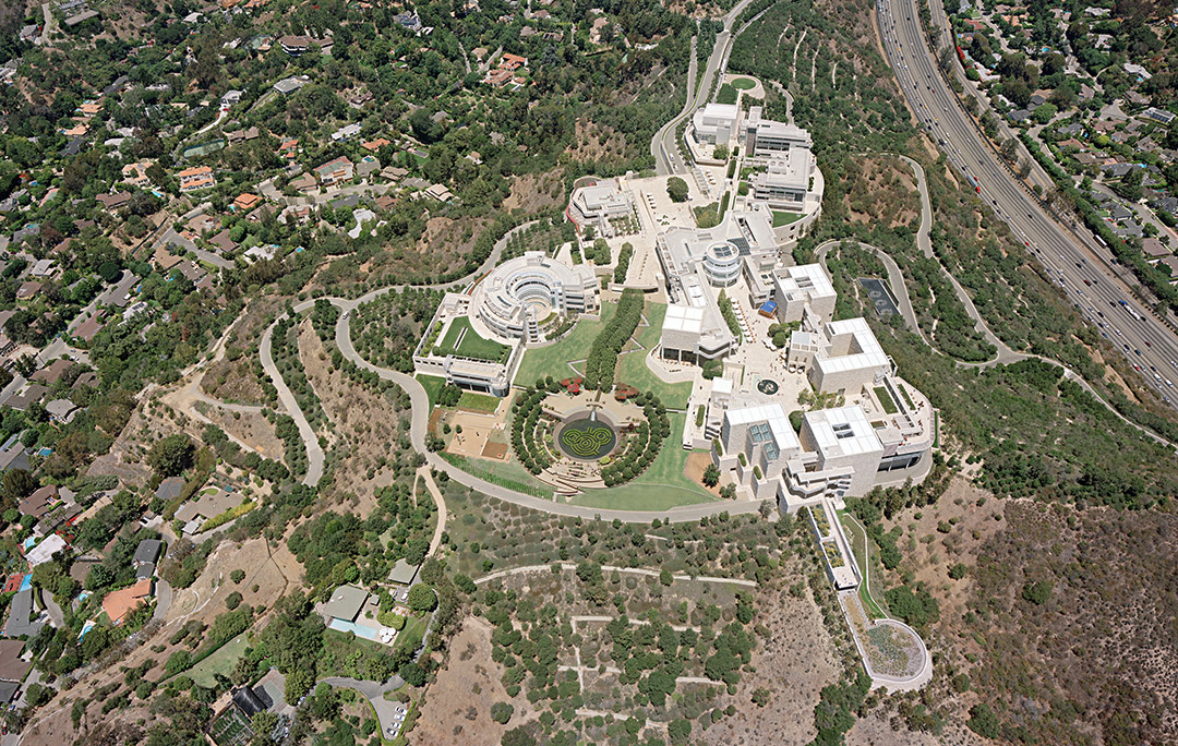
Landmark site
The Getty
Los Angeles, CA
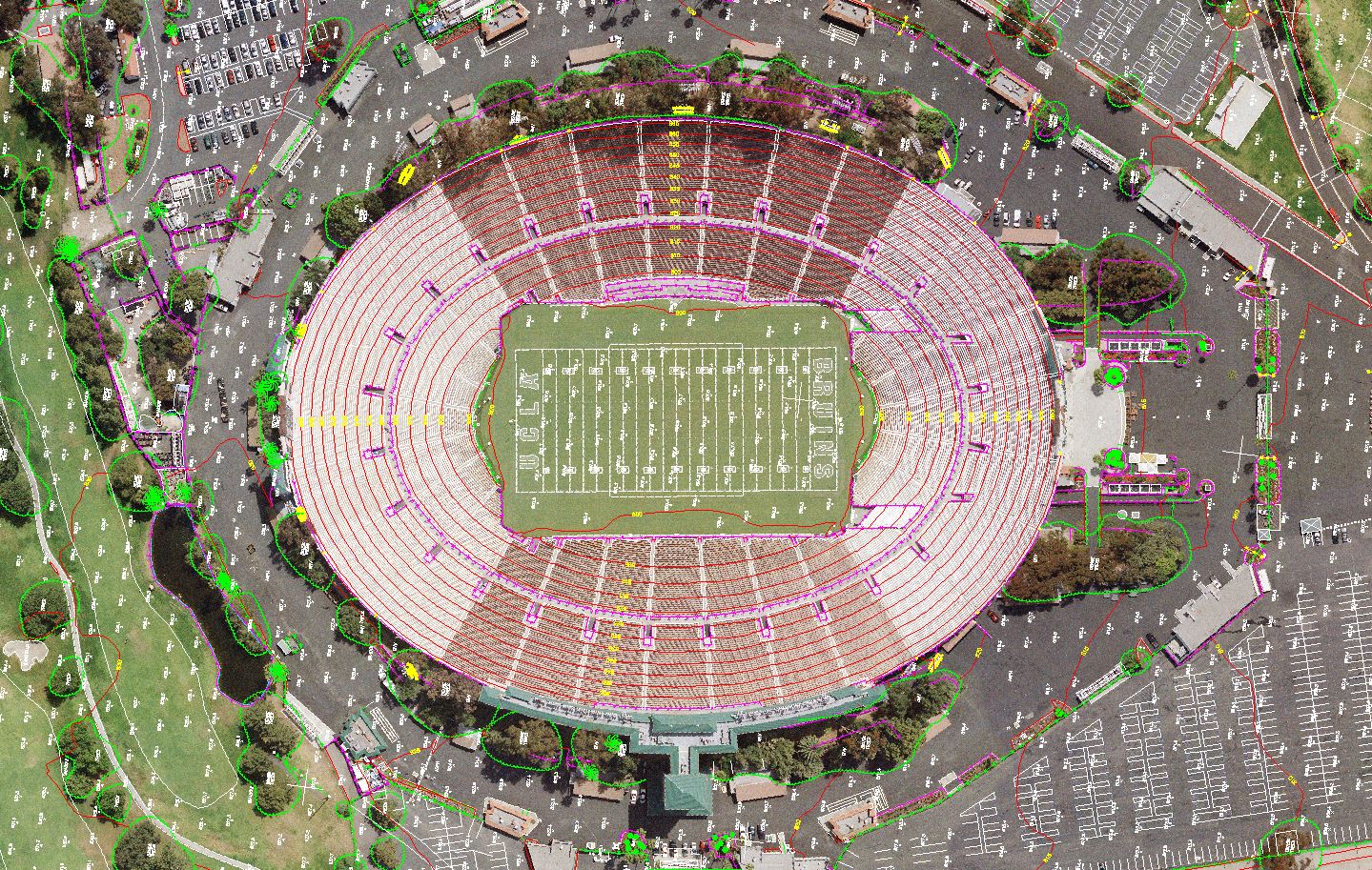
Landmark site
Pasadena Rose Bowl
Pasadena, CA
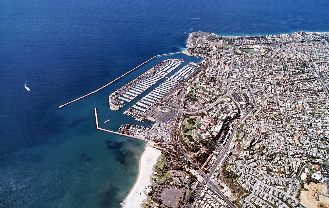
Harbor & coastal
Dana Point Harbor
Dana Point, CA
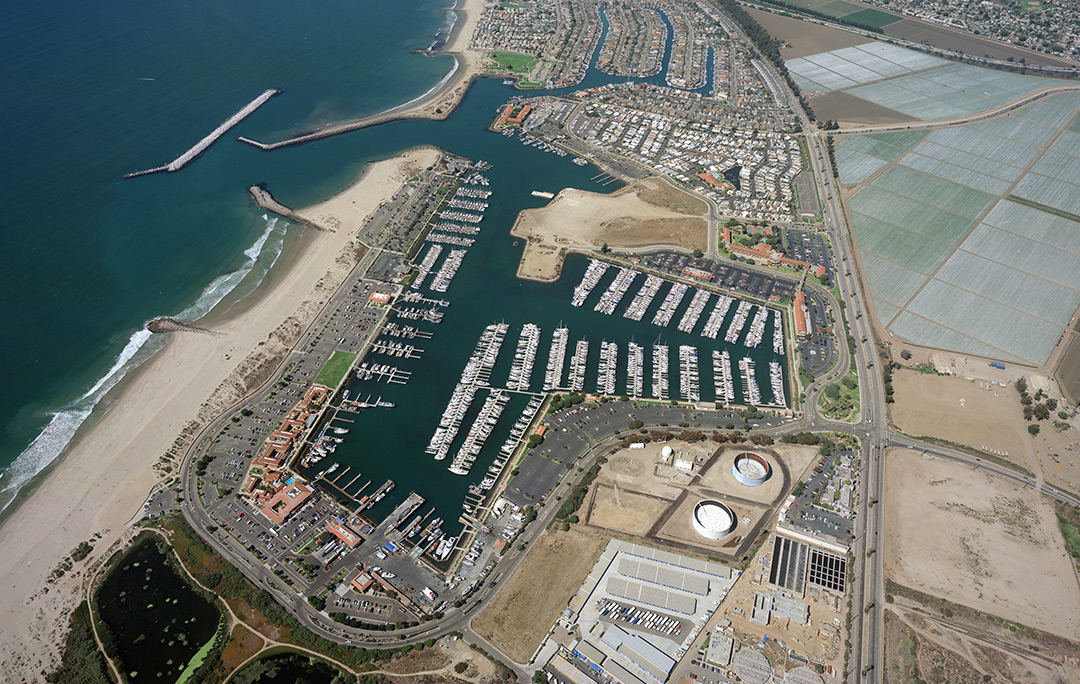
Harbor & coastal
Ventura Harbor
Ventura, CA

Coastal landmark
Morro Rock
Morro Bay, CA
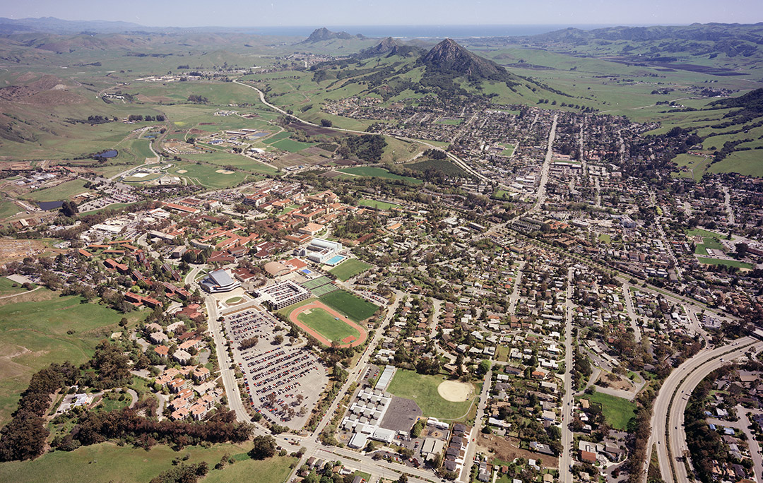
Municipal & regional
San Luis Obispo
San Luis Obispo, CA
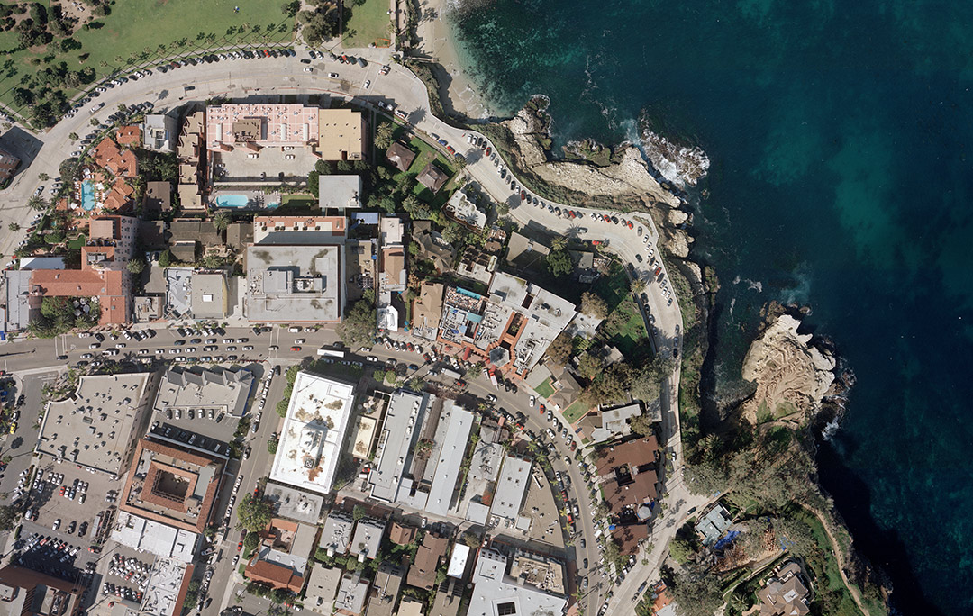
Coastal & community
La Jolla
San Diego, CA
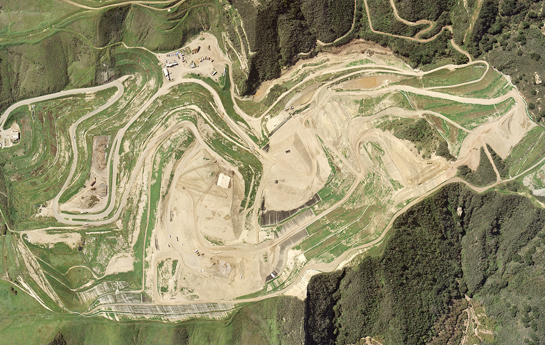
Landfill & environmental
Tajiguas Landfill
Santa Barbara County, CA
Infrastructure corridor
El Monte Water Pipeline
El Monte, CA
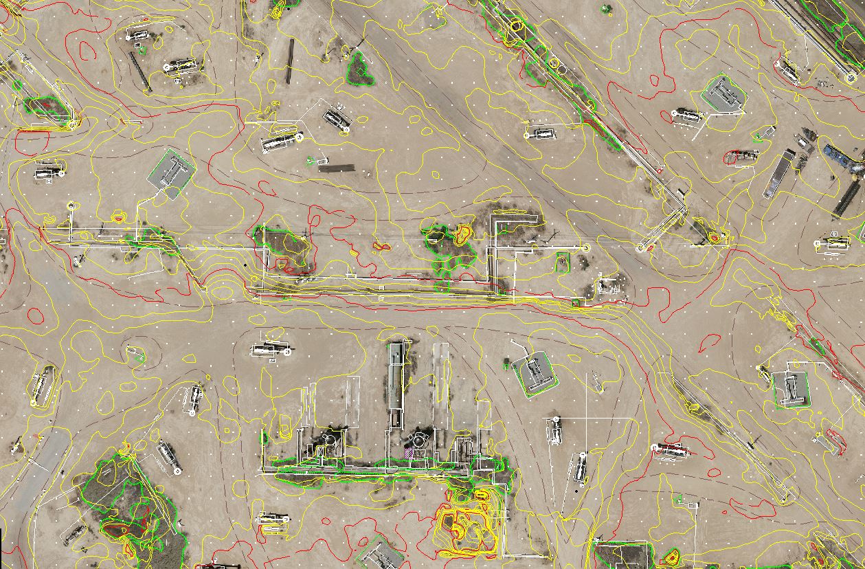
Energy & resources
Belridge Oil Fields
Kern County, CA
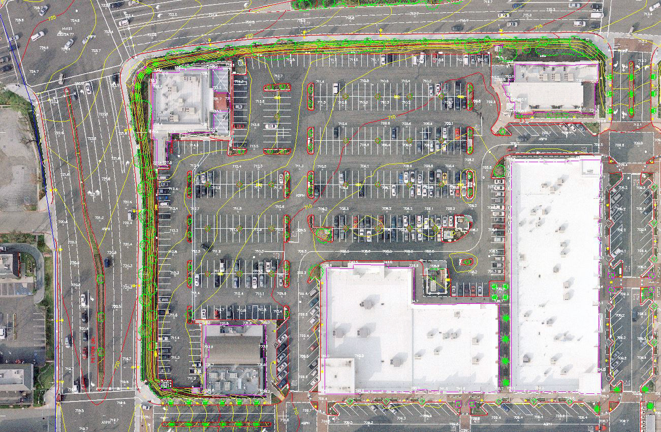
Commercial site
Albertsons Shopping Center
California

Community & municipal
Schools & Residential Areas
California
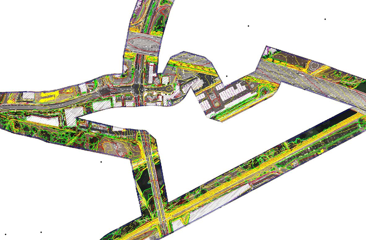
Newest capture
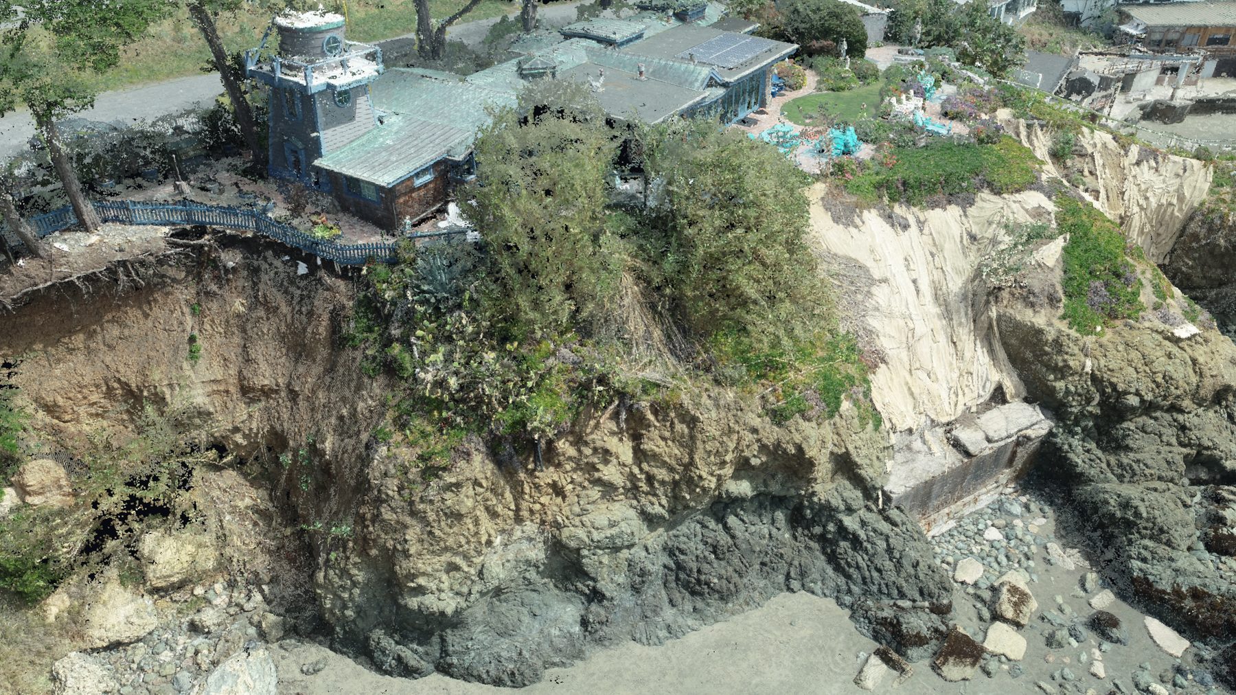
Beyond the orthophoto
Alongside the aerial maps above, we now deliver colorized LiDAR point clouds and 3D reality capture. Interactive point-cloud flythroughs of selected projects are coming to this page.
Have a site like one of these?
Tell us the project and the goal — we’ll recommend the right capture and deliverable.
Get a quote