UAV LiDAR
Drone-mounted LiDAR that resolves bare earth under dense vegetation, maps infrastructure corridors, and models terrain photographs alone can’t reach.
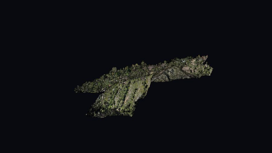
Millions of points per pass — including the ground you can’t see
Photogrammetry builds 3D from imagery and excels at true-color surfaces. LiDAR fires laser pulses that slip between leaves and branches to strike the ground beneath — so you get genuine bare earth where photos only see the canopy. We deliver colorized point clouds classified to your specification.
- Bare-earth extraction in heavy vegetation
- Colorized, classified point clouds (LAS/LAZ)
- Civil 3D-ready surfaces, DWG/DXF, GeoTIFF, KMZ
Built for tough capture
Forestry & environmental
Bare-earth terrain under dense canopy; vegetation structure and volumes.
Infrastructure corridors
Roads, rail, pipelines, transmission lines — long, narrow capture with clean geometry.
Mining & stockpiles
Surfaces and volumes for cut/fill and inventory.
Construction monitoring
Repeatable site capture to track grading and progress over time.
Drainage & hydrology
Accurate bare-earth for flow modeling and basin design.
Complex terrain
Steep, vegetated, or hard-to-access ground where photos fall short.
Explore a sample scan
A point-cloud flythrough of an actual CCAM survey — the kind of dense, colorized 3D data we deliver. A web-ready showcase of a sample scan (not a client login portal).
Talk to us about LiDAR— video coming —