
Precision aerial mapping & 3D reality capture
Since 1995 we’ve mapped California from the air, working out of San Luis Obispo. Today that includes UAV LiDAR and 3D reality capture alongside our manned UltraCam Falcon photogrammetry.
Four core services
Drone LiDAR and 3D reality capture are the newest. Aerial photogrammetry and terrain mapping are what we’ve done for decades.
UAV LiDAR
Drone-mounted LiDAR for dense bare-earth in vegetation, corridors, and complex terrain.
Learn more →Aerial photogrammetry
Large-area, state-grade imagery and mapping from our UltraCam Falcon digital camera.
Learn more →3D reality capture
Point-cloud and mesh models for digital twins, BIM, and visualization.
Learn more →Terrain & surface
Orthophotos, DTM/DSM, contours, and surface models, ready to use in design.
Learn more →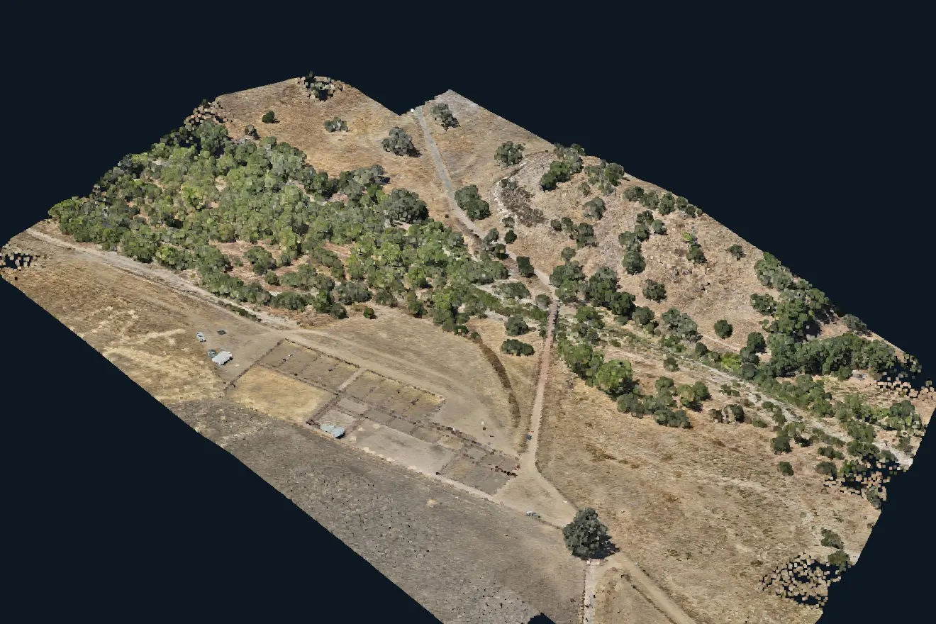
UAV LiDAR that reaches the ground under trees
Our drone LiDAR records millions of points on every pass. Some of the laser pulses get through gaps in the leaves, so we can map bare earth under dense vegetation, as well as corridors and rough terrain that photos alone can’t capture.
- Forestry, infrastructure, mining & construction monitoring
- Colorized point clouds, classified to your spec
- Deliverables in LAS/LAZ, DWG/DXF, GeoTIFF, KMZ
Surface models built for Civil 3D
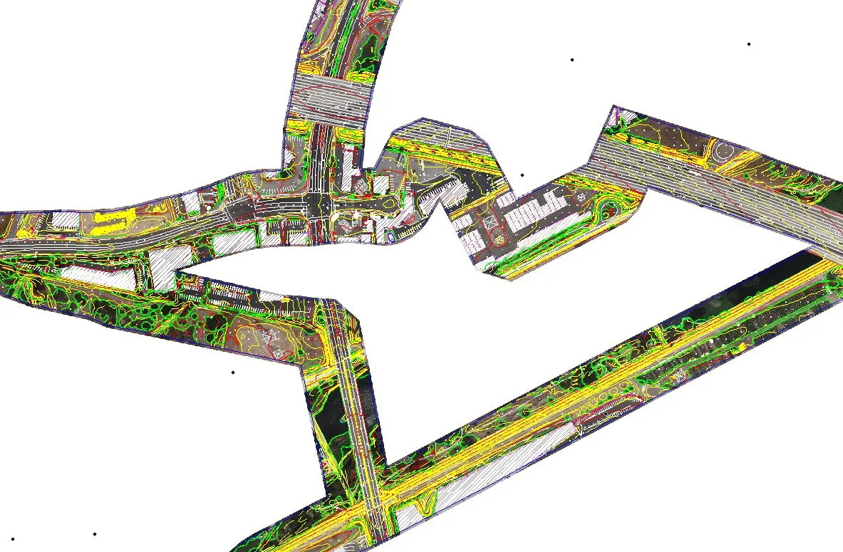
We deliver TIN surfaces, breaklines, and contours that open directly in Civil 3D and AutoCAD, so your engineers can start designing without reprocessing anything.
- TIN surfaces and breaklines
- Opens directly in Civil 3D and AutoCAD
- Contours at the interval you specify
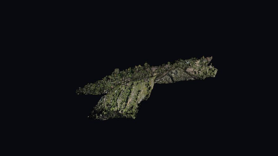
Interactive 3D isn’t available on this device, so here’s a still image instead.
Recent projects
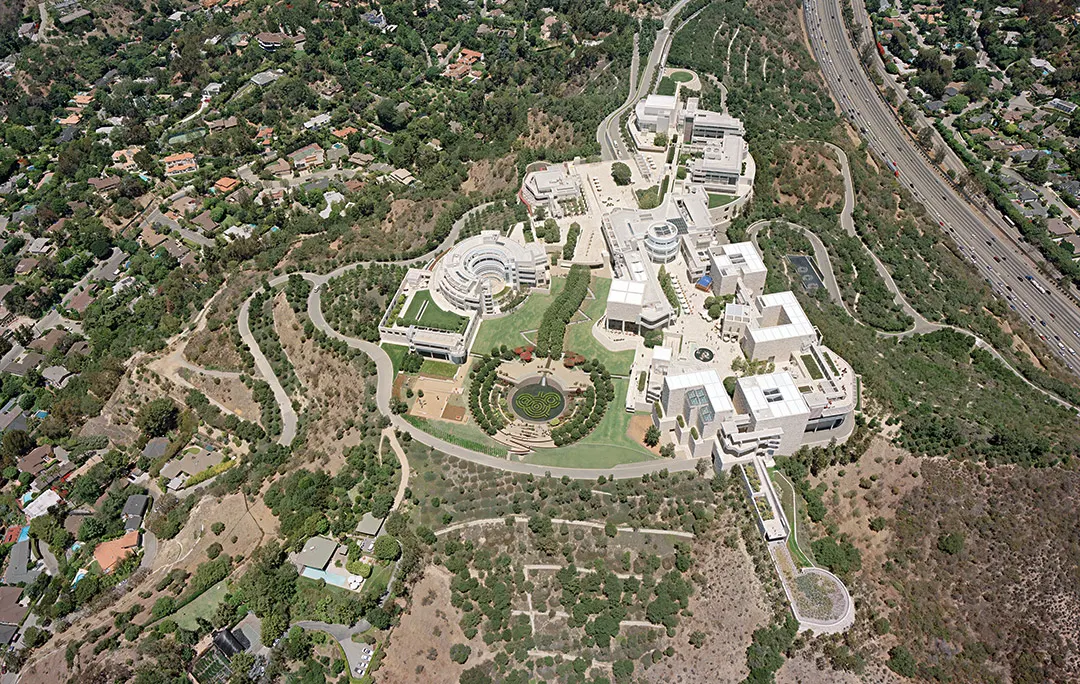
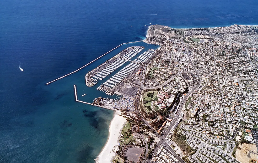
A few of the sites we’ve mapped.
Have a project? Let’s map it.
Tell us where the site is and what you need. We usually reply within one business day.
Get a quote