Precision aerial mapping & 3D reality capture
UAV LiDAR, manned photogrammetry, and survey-grade deliverables across California’s Central Coast — and statewide. Mapping California for over 30 years, now in three dimensions.
From the air to a precise digital model
Four core capabilities — two of them new pillars built on modern drone LiDAR and 3D reconstruction.
UAV LiDAR
Drone-mounted LiDAR for dense bare-earth in vegetation, corridors, and complex terrain.
Learn more →Aerial photogrammetry
Large-area, state-grade imagery and mapping from our UltraCam-X digital camera.
Learn more →3D reality capture
Point-cloud and mesh models for digital twins, BIM, and visualization.
Learn more →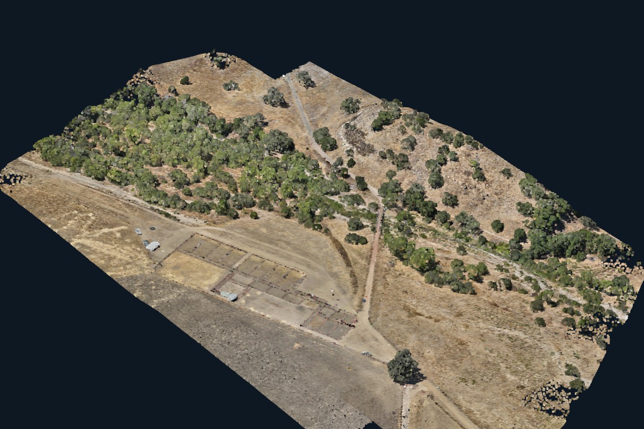
UAV LiDAR that sees through the canopy
Our drone LiDAR captures millions of points per pass — resolving bare earth under dense vegetation, mapping infrastructure corridors, and modeling terrain that photos alone can’t reach.
- Forestry, infrastructure, mining & construction monitoring
- Colorized point clouds, classified to your spec
- Deliverables in LAS/LAZ, DWG/DXF, GeoTIFF, KMZ
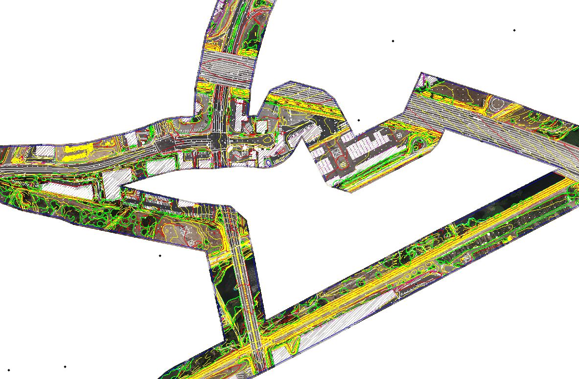
Surface models built for Civil 3D
We don’t just hand you data — we hand you a surface you design with. TIN surfaces, breaklines, and contours import straight into Civil 3D and AutoCAD, so your engineers start designing immediately.
- TIN surfaces, breaklines, and contour deliverables
- Drops directly into Civil 3D / AutoCAD workflows
- The format civil engineers actually design in today
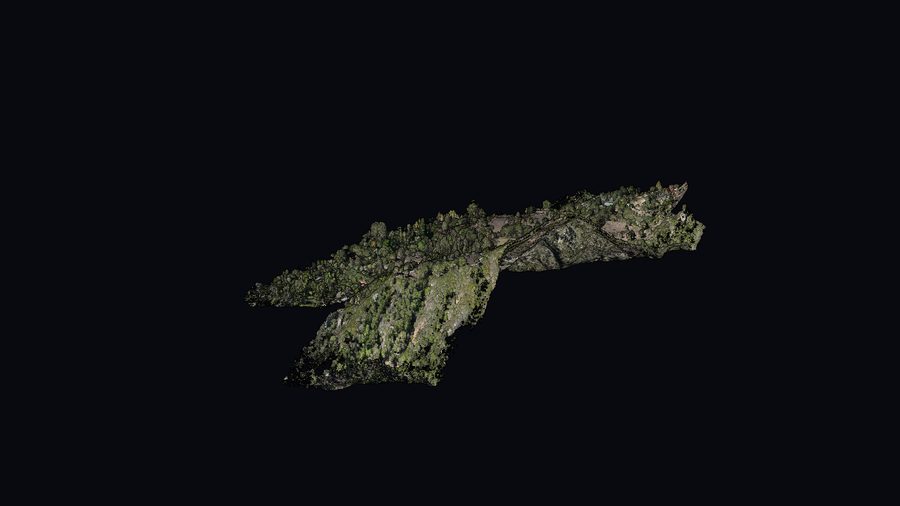
Interactive 3D isn’t available on this device — here’s a still preview.
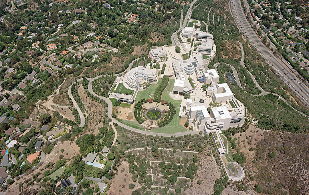
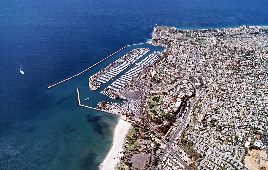
Recent projects
A look at what survey-grade aerial capture produces in the field.